
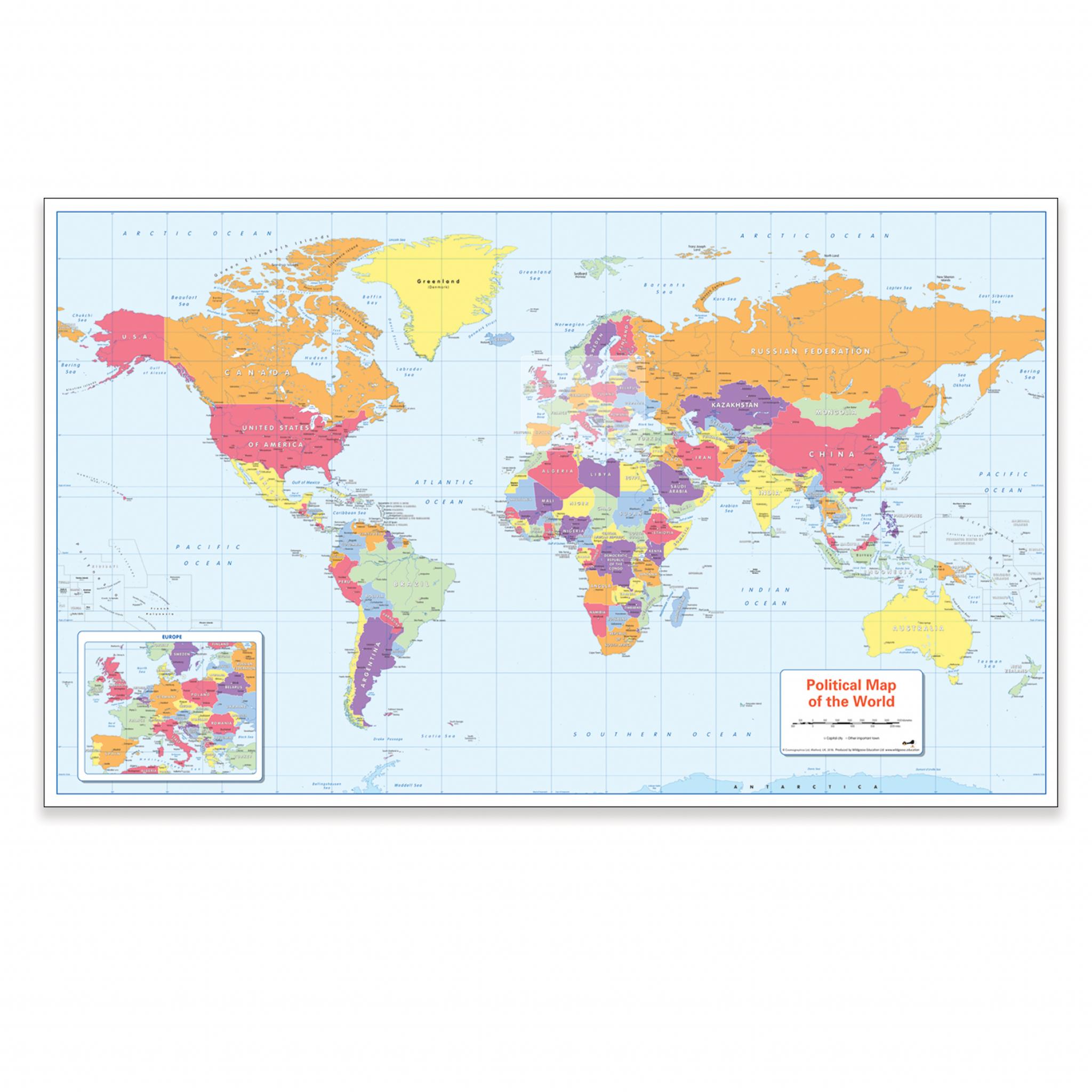
Wildgoose Colour Blind Friendly World Political Map
Description
This colour blind friendly world political map supports inclusive geography teaching by ensuring all learners can clearly distinguish countries and key features. Designed for classroom or home use, it helps pupils develop map-reading skills and global awareness in line with the curriculum.
Features countries, main cities and towns, oceans, seas, tropics, equator, rivers, and the International Date Line
Uses accessible colours suitable for learners with colour vision deficiency (CVD)
Suitable for primary and secondary geography lessons
Clear, easy-to-read layout for group or individual activities
Ideal for wall display or table use in classrooms and learning spaces
There is likely to be at least one child in every classroom that is colour blind.
Specifications
55101501
45in
45in
595in
Findel
Geography
Maps & Compasses