0 £0.00
products in your basketto quote Checkout
Ooops no items were found.
Try something else.
Ok
Loading…

Playcloth Outline Map - British Isles

Category Maps & Compasses
HE292766

Playcloth Outline Map - British Isles

Product Code: HE292766
Category Maps & Compasses

Description

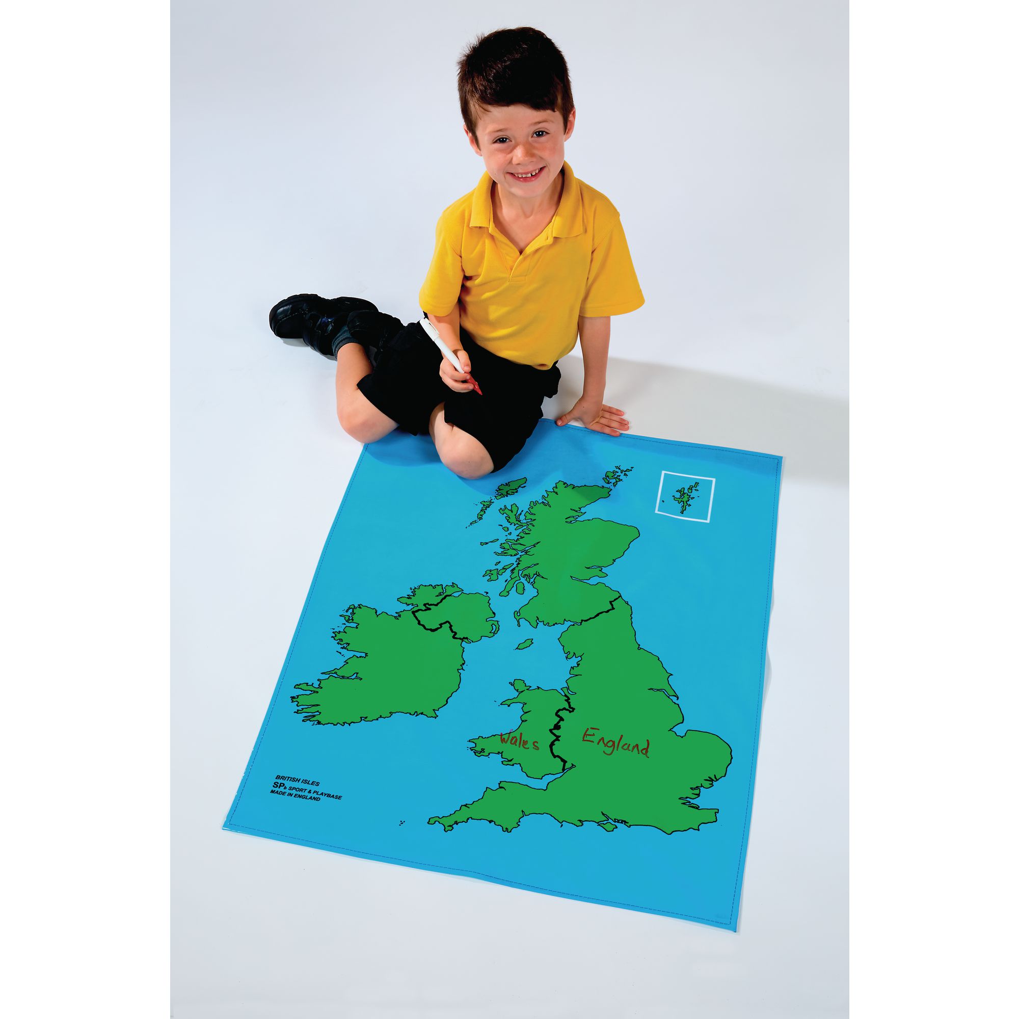
This versatile playcloth map provides a clear, outline view of the British Isles, supporting hands-on geography learning for primary and secondary pupils. Designed for interactive activities, it helps learners identify and explore country boundaries in a tactile way.

  • Printed on durable cotton with a PVC dry-wipe surface for repeated use

  • Country boundaries shown in black for easy reference

  • Measures 800 x 700 mm, suitable for group or individual work

  • Age suitability: 5 years and above

  • Supplied as a single map

Specifications

UNSPSC Code

55101501

Height

70in

Width

70in

Length

750in

Brand

Findel

Categories

Geography

Starting from
£34.99 Pack of 1
/
incl. VAT £41.99
- +

Playcloth Outline Map - British Isles

Category Maps & Compasses
HE292766

Playcloth Outline Map - British Isles

Product Code: HE292766
Category Maps & Compasses

Description

This versatile playcloth map provides a clear, outline view of the British Isles, supporting hands-on geography learning for primary and secondary pupils. Designed for interactive activities, it helps learners identify and explore country boundaries in a tactile way.

  • Printed on durable cotton with a PVC dry-wipe surface for repeated use

  • Country boundaries shown in black for easy reference

  • Measures 800 x 700 mm, suitable for group or individual work

  • Age suitability: 5 years and above

  • Supplied as a single map

Specifications

UNSPSC Code

55101501

Height

70in

Width

70in

Length

750in

Brand

Findel

Categories

Geography

Starting from
£34.99 Pack of 1
/
incl. VAT £41.99
- +
SEARCH ×

Search