0 £0.00
products in your basketto quote Checkout
Ooops no items were found.
Try something else.
Ok
Loading…

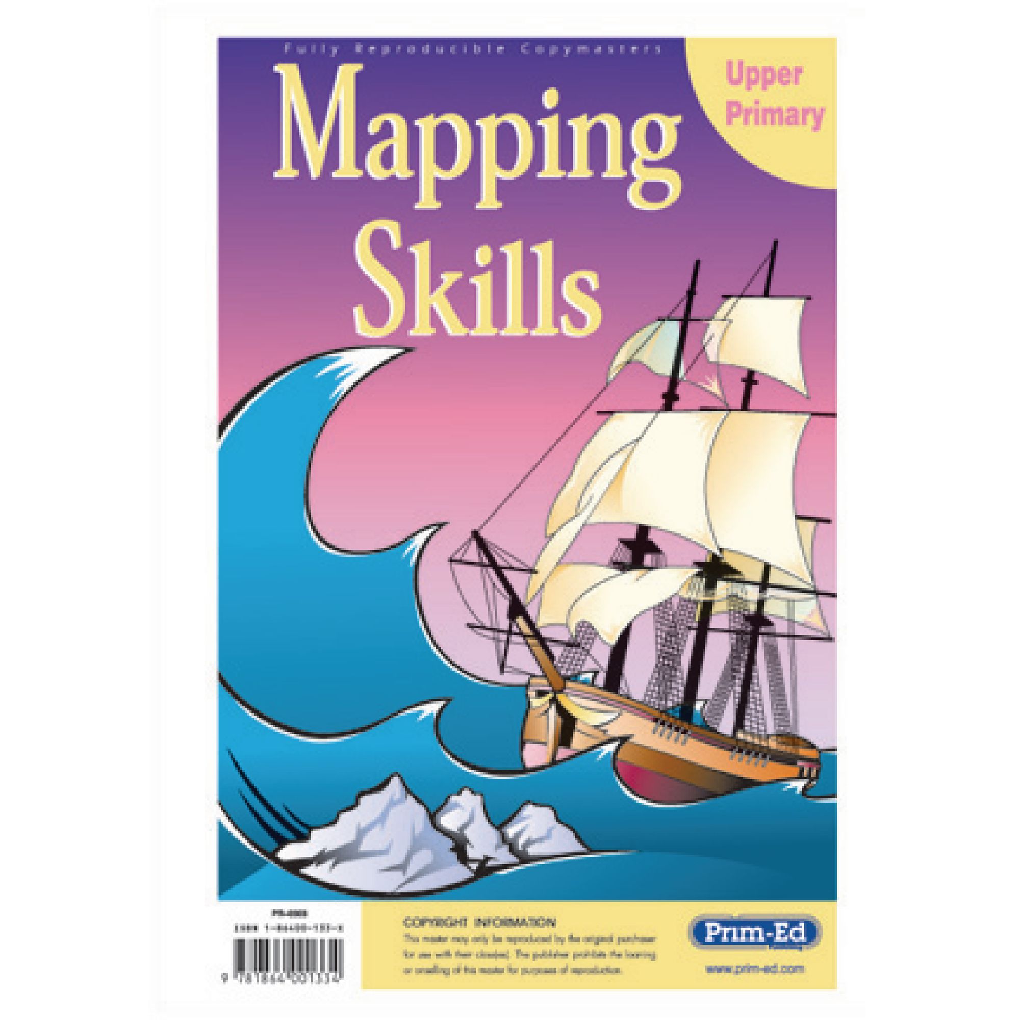
Prim-Ed Mapping Skills Upper Primary

Category Maps & Compasses
HE48754017

Prim-Ed Mapping Skills Upper Primary

Product Code: HE48754017
Category Maps & Compasses

Description

Support pupils in developing essential mapping skills with this comprehensive resource, designed specifically for upper primary geography lessons. Ideal for teachers seeking structured activities that reinforce map reading, co-ordinates, and spatial awareness in line with Key Stage 2 curriculum objectives.

  • Suitable for ages 9 years and above (Key Stage 2)

  • Includes a variety of photocopiable activities focused on latitude, longitude, scales, and estimating distance

  • Contains blank outline maps of the British Isles and Europe for practical exercises

  • Covers map symbols, compass points, giving directions, and interpreting different types of maps

  • ISBN: 9781864001334

  • Book format for easy classroom use and resource sharing

  • Can be used in conjunction with all school atlases

  • Skills include horizontal and vertical, co-ordinates, symbols, compass points, giving directions, latitude and longitude and familiarity with a range of maps; e.g. mud, plans, street, physical and political

Specifications

UNSPSC Code

60101729

Height

10in

Width

210in

Length

300in

Brand

Findel

Categories

Geography

Starting from
£23.79 Pack of 1
/
incl. VAT £28.55
- +

Prim-Ed Mapping Skills Upper Primary

Category Maps & Compasses
HE48754017

Prim-Ed Mapping Skills Upper Primary

Product Code: HE48754017
Category Maps & Compasses

Description

Support pupils in developing essential mapping skills with this comprehensive resource, designed specifically for upper primary geography lessons. Ideal for teachers seeking structured activities that reinforce map reading, co-ordinates, and spatial awareness in line with Key Stage 2 curriculum objectives.

  • Suitable for ages 9 years and above (Key Stage 2)

  • Includes a variety of photocopiable activities focused on latitude, longitude, scales, and estimating distance

  • Contains blank outline maps of the British Isles and Europe for practical exercises

  • Covers map symbols, compass points, giving directions, and interpreting different types of maps

  • ISBN: 9781864001334

  • Book format for easy classroom use and resource sharing

  • Can be used in conjunction with all school atlases

  • Skills include horizontal and vertical, co-ordinates, symbols, compass points, giving directions, latitude and longitude and familiarity with a range of maps; e.g. mud, plans, street, physical and political

Specifications

UNSPSC Code

60101729

Height

10in

Width

210in

Length

300in

Brand

Findel

Categories

Geography

Starting from
£23.79 Pack of 1
/
incl. VAT £28.55
- +
SEARCH ×

Search